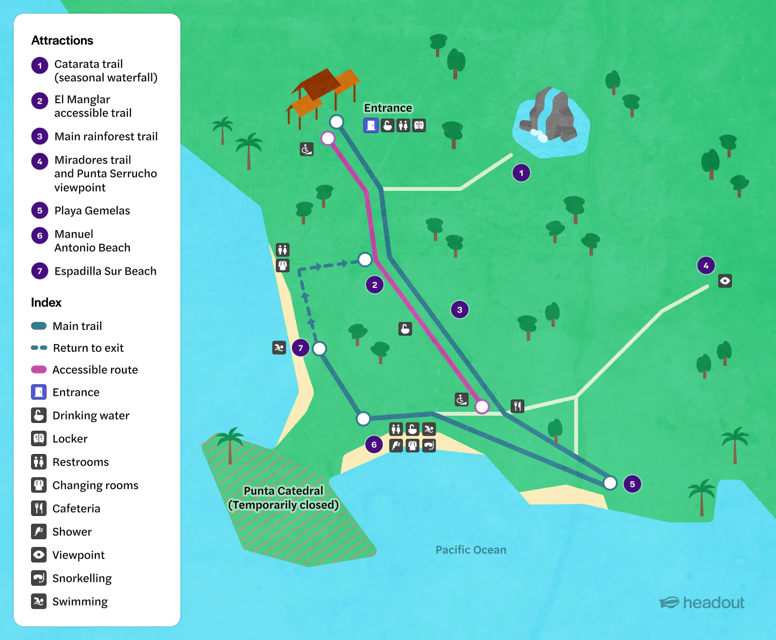
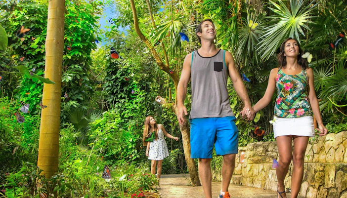
There is one main visitor entrance, near the end of Manuel Antonio village. From here, the trail network leads through the forest toward the beaches, viewpoints, and other visitor areas. Use the entrance as your main orientation point when planning both your outward route and return.
Find your way around Manuel Antonio
Manuel Antonio National Park combines rainforest trails, wildlife habitats, viewpoints, and Pacific beaches within a compact trail network. Use the map to see how the entrance connects to Manuel Antonio Beach, Espadilla Sur, Playa Gemelas, and the park’s viewpoints, so you can plan your route, locate facilities, and avoid unnecessary backtracking.
How to read the Manuel Antonio National Park map
The park’s trails branch from the entrance through rainforest and mangrove habitats toward viewpoints and Pacific beaches. Use the map to group nearby stops, locate facilities, and choose a route that matches your available time without unnecessary backtracking.
Start at the main entrance
Explore the rainforest and mangroves
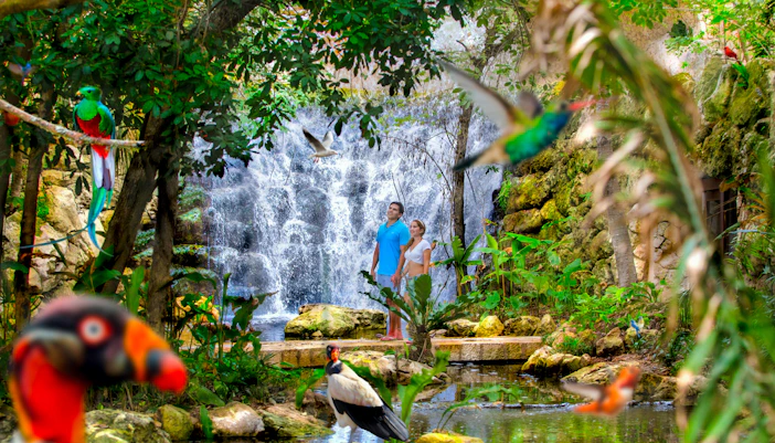
The first part of your visit is about more than reaching the beach. Slow down along the rainforest trails for monkeys, sloths, birds, and reptiles, and look for the park’s mangrove habitat. The accessible El Manglar trail also runs through this part of the park toward the coast.
Continue to the coastal viewpoints
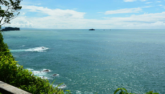
Head toward Miradores and Punta Serrucho for elevated views over the forest and Pacific coastline. These trails add more walking than a beach-focused visit, so tackle them before settling down for a swim. Check current trail conditions before setting out, as closures can affect access.

Detour to Playa Gemelas
Playa Gemelas is a smaller beach reached from the trail network beyond the busiest visitor areas. Add it if you have more time and want to combine the viewpoints with another coastal stop before returning toward the main beaches.
Finish at the main beaches
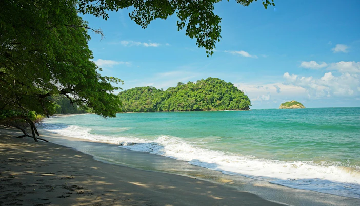
Save Manuel Antonio Beach and Espadilla Sur for later if you plan to swim or take a longer break. Their position within the main visitor trail network makes them convenient final stops after wildlife spotting and the longer walks.
Facilities on the Manuel Antonio National Park
Manuel Antonio's visitor facilities are concentrated around the entrance and main beach/trail areas rather than evenly distributed across every trail. Check their locations on the map before setting out, especially if you plan to swim or explore the longer trails.
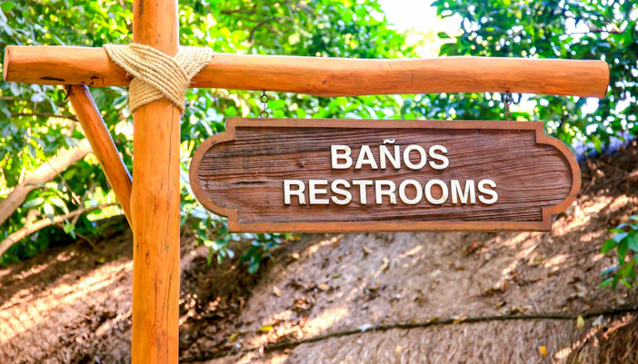
Lockers, restrooms & beach facilities
Plan where you'll change or store belongings before heading deeper into the park.
- 🎒 Lockers: Rental lockers are available near the entrance for belongings you don't want to carry.
- 🚻 Restrooms: Toilets are available within the park's main visitor areas.
- 🚿 Showers & changing rooms: Available for visitors using the beaches; soap and shampoo aren't permitted in the showers.
- 💧 Drinking water: Refill points are available along the Perezoso vehicle trail and near the Manuel Antonio and Espadilla Sur beach trails.
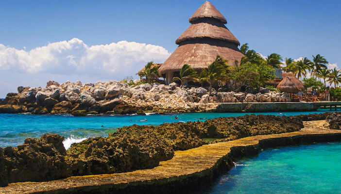
Food, drinks & visitor services
The park has limited services inside, so use the map to know where they are before heading onto the trails.
- 🍽️ Food & drinks: A concession area sells food and beverages, which must be consumed in the designated eating area.
- 🛍️ Craft store: A small store sells crafts and souvenirs.
- 💧 Water: Bring a reusable bottle and refill it at the drinking-water points.
- ℹ️ Park information: Check posted information and current trail conditions when you arrive, particularly if temporary closures are in effect.

Accessible routes & arrival
Accessibility varies significantly depending on which part of the park you plan to visit.
- ♿ El Manglar trail: A 726m elevated accessible trail leads through the forest toward the beach area.
- 🪑 Rest areas: The accessible trail includes 10 rest bays.
- 🌊 Beach access: A 164m accessible walkway extends toward the sea.
- ♿ Amphibious wheelchair: Available by advance reservation for visitors who require one.
- 🅿️ Parking: There is no official visitor parking inside the national park; drivers use private parking facilities outside the entrance.
Key places to find on the Manuel Antonio National Park map
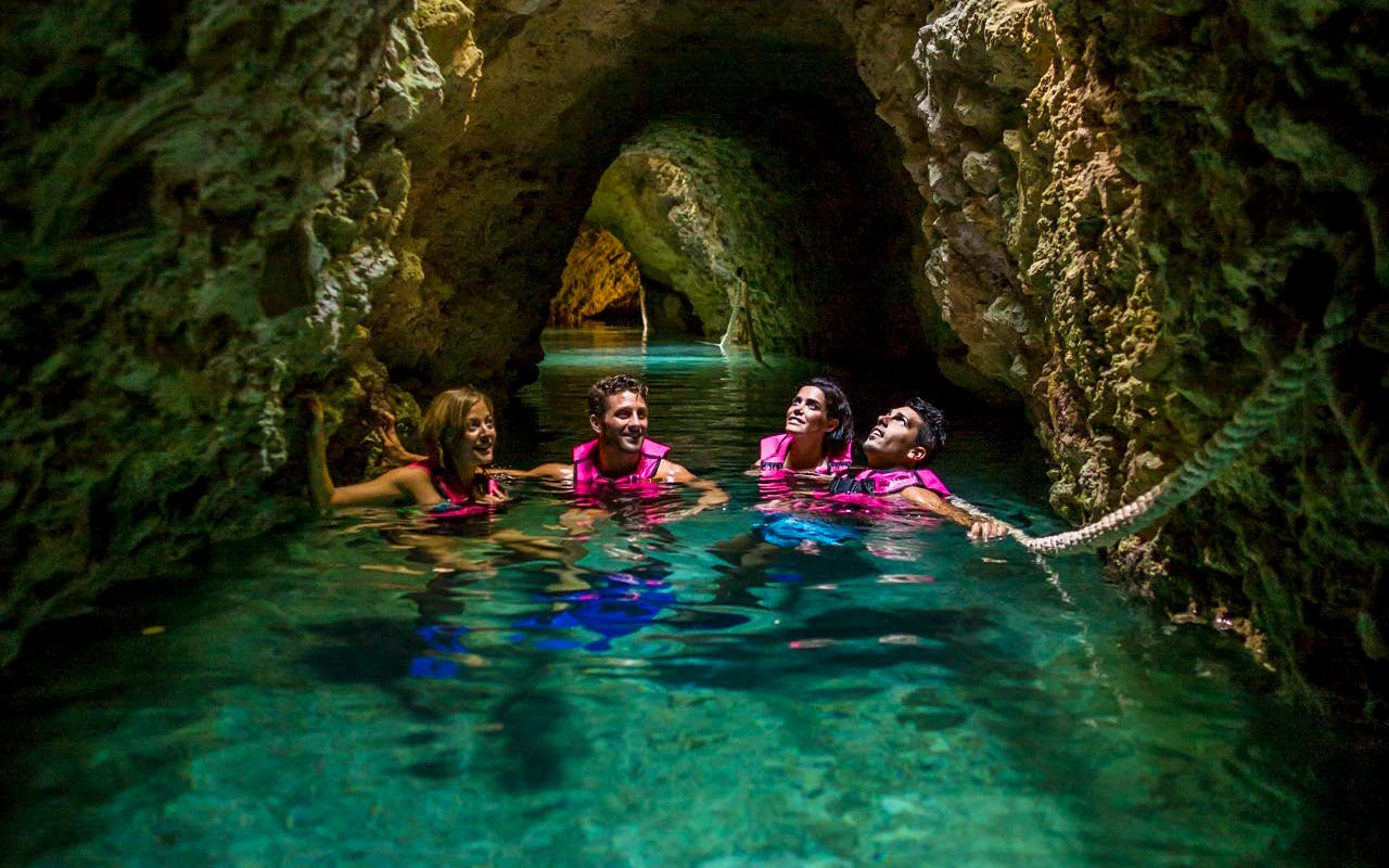
Manuel Antonio Beach
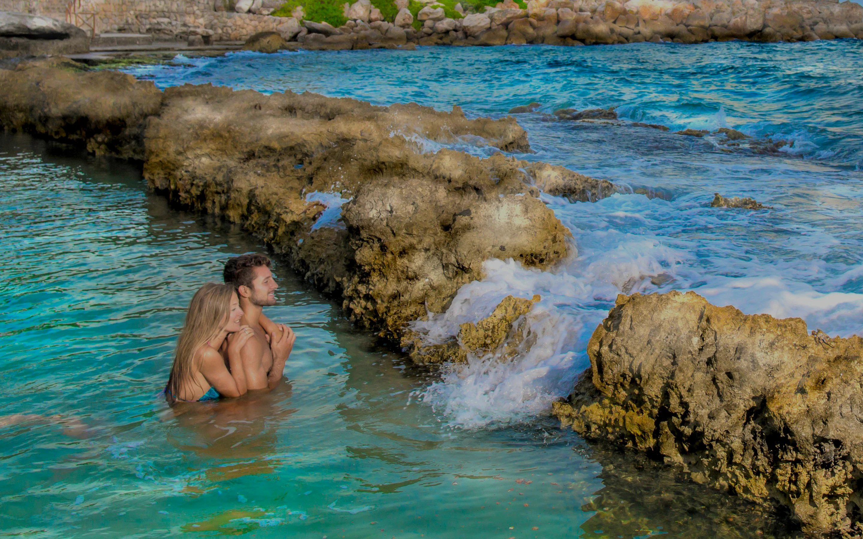
The park’s signature beach is one of the main landmarks to orient yourself around. Its sheltered bay and rainforest-backed shoreline make it a natural place to stop for swimming after exploring the trails. Save it for later in your route if you want to complete the longer walks first.
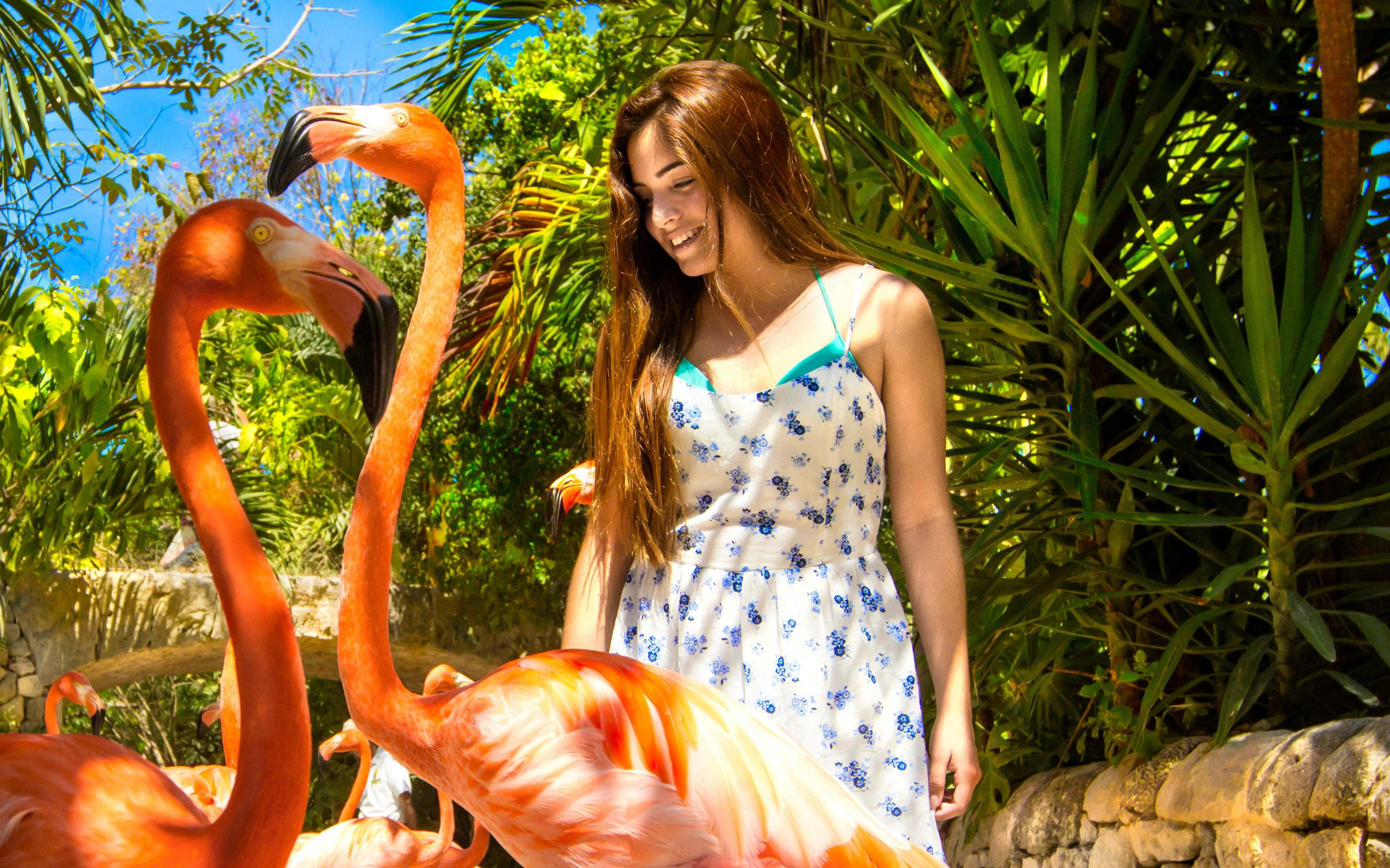
Tips for using the Manuel Antonio National Park map
Use the map to build a realistic route around wildlife trails, viewpoints, and beach time rather than trying to cover every trail.
- Start with wildlife spotting: Explore the rainforest trails earlier in the day, when you're less likely to be rushing toward the beaches.
- Do longer trails before swimming: Visit Miradores, Punta Serrucho, or Playa Gemelas before settling at Manuel Antonio Beach or Espadilla Sur.
- Check trail conditions first: Temporary closures can change which routes are accessible, so check current conditions when you arrive.
- Know where the facilities are: Mark lockers, restrooms, changing rooms, showers, drinking-water points, and the concession area before heading deeper into the park.
- Use El Manglar for accessible travel: The 726m elevated trail is the park's principal accessible route and includes rest bays along the way.
- Add the waterfall seasonally: The Catarata trail is more rewarding during wetter periods when the waterfall has stronger flow.
- Don't underestimate walking time: Wildlife sightings, natural trail surfaces, viewpoints, and beach stops can make the route take longer than the map suggests.
- Keep the exit in mind: Re-entry isn't permitted, so finish everything you want to do inside the park before leaving.
Frequently asked questions about the Manuel Antonio National Park map
You can view the Manuel Antonio National Park map on this page before your visit. Use it to locate the entrance, trails, beaches, viewpoints, accessible routes, and visitor facilities.
The park has one main visitor entrance near the end of Manuel Antonio village, about 7km from central Quepos. From the entrance, trails lead toward the rainforest, viewpoints, and beaches.
Start with the rainforest trails, then add Miradores and Punta Serrucho if you want coastal viewpoints. Playa Gemelas can be added before finishing at Manuel Antonio Beach or Espadilla Sur.
The Punta Catedral trail is currently listed as temporarily closed. Check the latest trail conditions before your visit, as closures can change.
Yes, look for the El Manglar trail, a 726m elevated accessible route with 10 rest bays. An additional 164m accessible walkway leads toward the sea.
Yes, use the map to locate key visitor facilities, including restrooms, changing rooms, showers, drinking-water points, lockers, and the concession area.
There is no official visitor parking inside the national park. Private parking facilities operate outside the entrance, so confirm the location and price before leaving your vehicle.
No, your admission allows a single entry, and re-entry is not permitted once you leave the national park. Plan your trails, beach time, and facilities stops before exiting.